Call For Participation: Crowdsourcing Post-Disaster Damage Assessment – July 2017
JULY 2017 NEWSLETTER
Call For Participation: Crowdsourcing Post-Disaster Damage Assessment
Find Building Damage
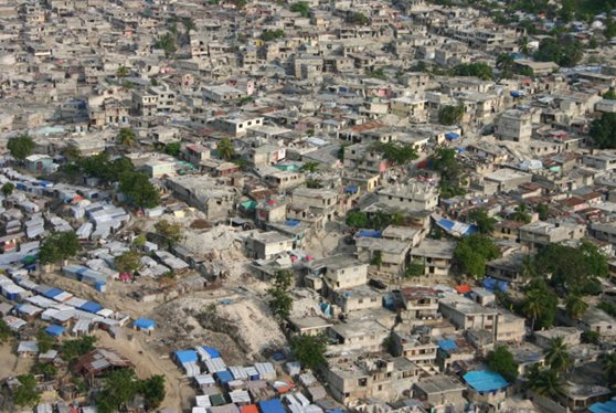
Following a disaster, responders and recovery planners need to know the location and severity of damaged buildings in a region. The Stanford Urban Resilience Initiative and Blume Earthquake Engineering Center and researching ways to crowdsource damage assessments.
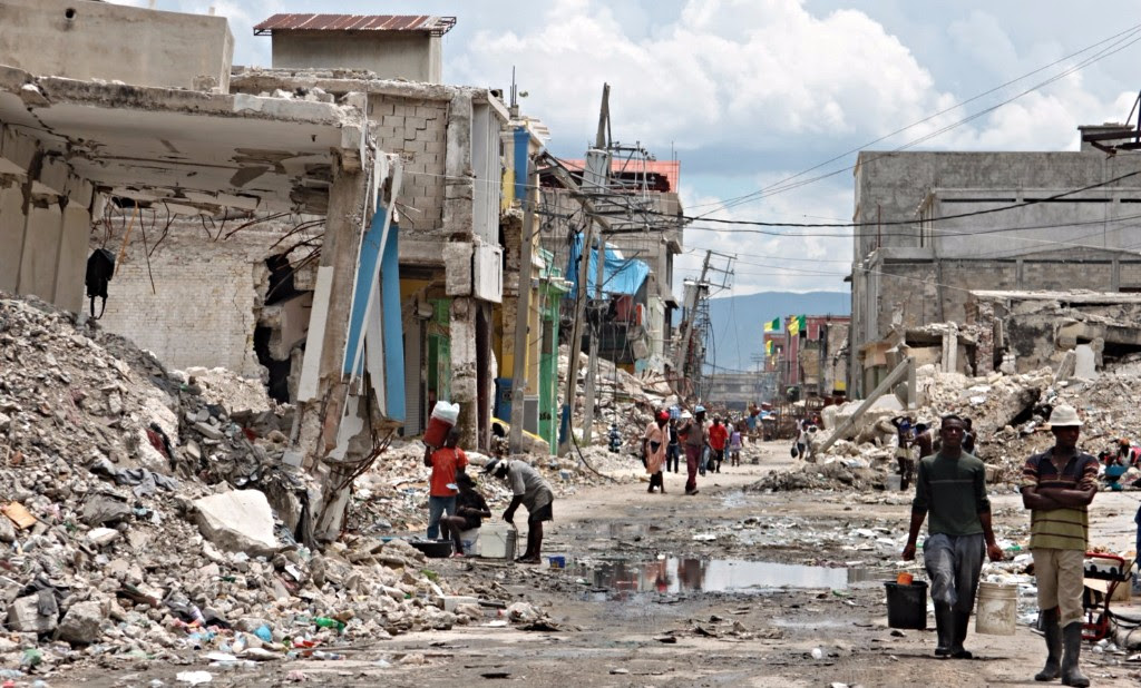
The Stanford Urban Resilience Initiative and Blume Earthquake Engineering Center are researching ways to improve crowdsourced remote damage assessment, and we need your help! We’re looking at novel methods for assessing building damage from post-disaster satellite imagery, and need volunteers – you! – to test the crowdsourcing tools. Your participation will help improve recovery following earthquakes and other natural disasters!
|
|
|
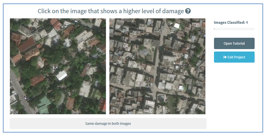 Compare Images
|
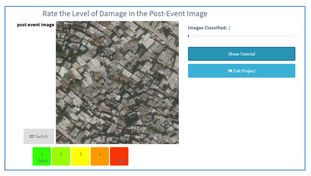 Rank Damage
|
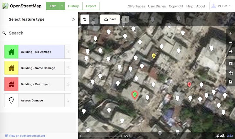 Use OpenStreetMap
To participate and learn more about our work, visit our project homepage.